Geofences
Use geofences to mark out places with a name that means something to you, such as “Office”, “Home”, or “Customer A”. These names can be displayed instead of a longer address, and you get notified when devices enter or leave the areas.
Define places of interest
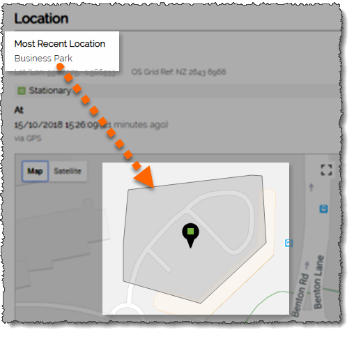
Geofences define areas or places of interest, such as an office, depot, or a customer site. The names you give an area can then be used to identify that location instead of a longer address. For example, rather than seeing “Van 1 is at 25 High Street, Birmingham” you see “Van 1 is at Acme Limited” instead.
As well as using geofences to provide meaningful names, they are also integrated into the alerting module so you can be automatically notified when devices enters or leaves them.
A complete historical record is maintained so you can produce a report on how frequently each geofence are visited and how much time is spent there.

Simple Point and Click Setup

Setting up new geofences is a very simple point-and-click process. Users can select from circular, rectangular, or polygonal shapes and create them visually on the map. Searching for a town, street, or postcode centres the map on the area of interest.
To create a circular geofence, simply click where the centre should be and define a radius in metres. Alternatively, click through from any historical location to set the centre.
To create a rectangular one, just click where two opposite corners should be.
To create a polygonal geofence just click multiple points and see the area update dynamically.
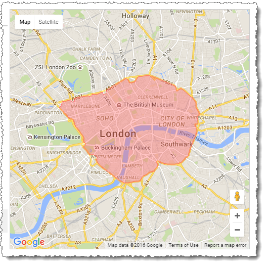
Some generic geofences, such as the London Congestion Charging Zone, have been already pre-defined so can be added with a single click.
